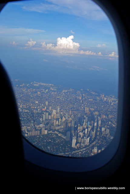
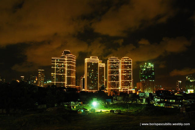
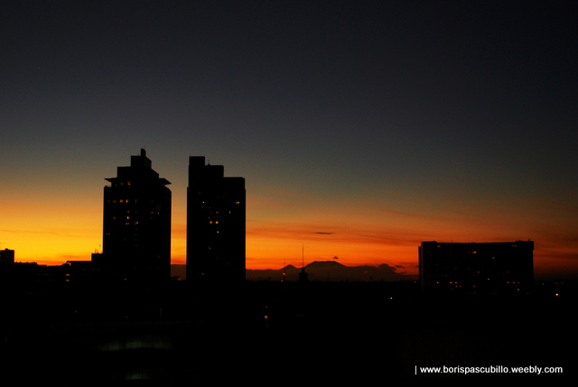
metro manila skyline, viewed from antipolo city
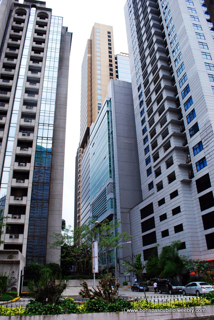
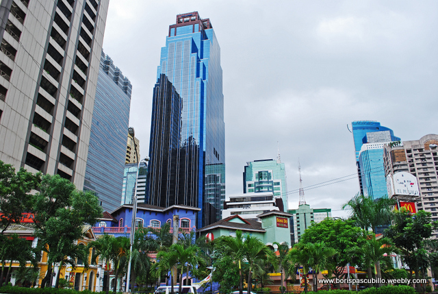
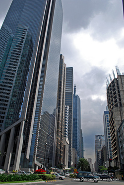
rockwell scrapers, makati city (overpass, guadalupe)
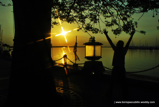

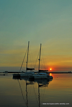
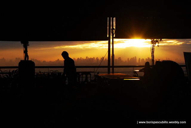
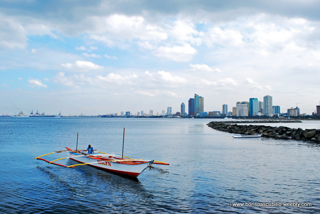
yacht club, manila square harbour
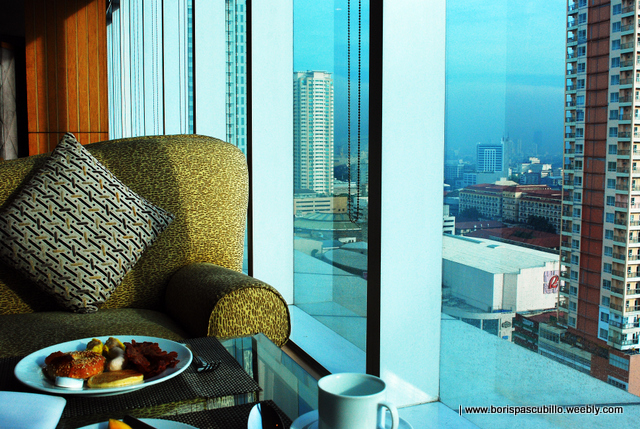
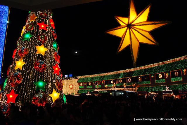
Metro Manila has beautiful colors, believe me. While I used to dislike the place because of its impertinence, this 16-city metropolis is actually a breather for my provincial life. For one, it offers an ice cream sandwich and, two, it continues to mystify me looking at the high rise building with fake DVDs being sold at its entrance.
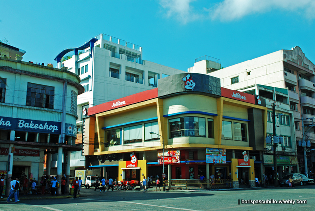
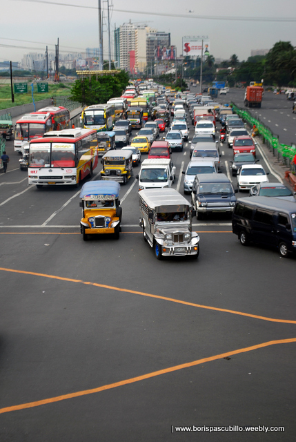
edsa central
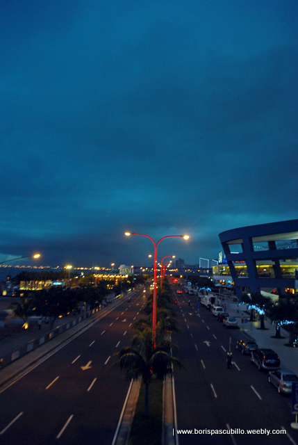
pasay city


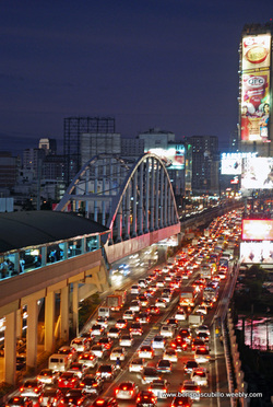
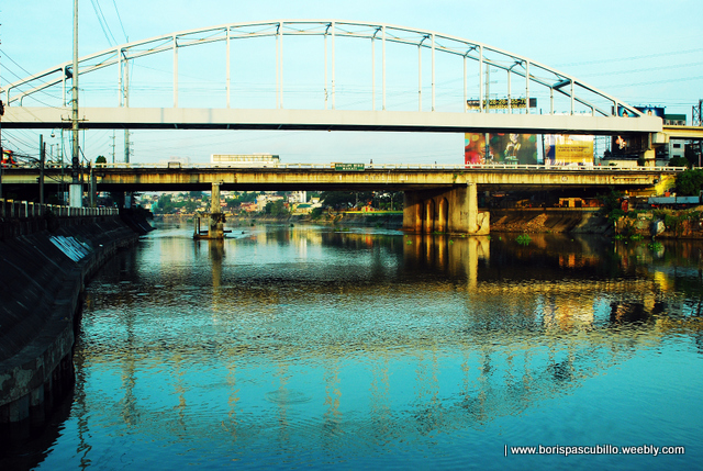
guadalupe tulay
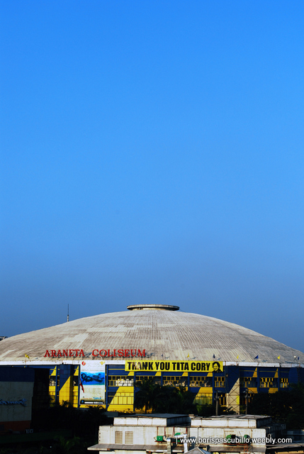
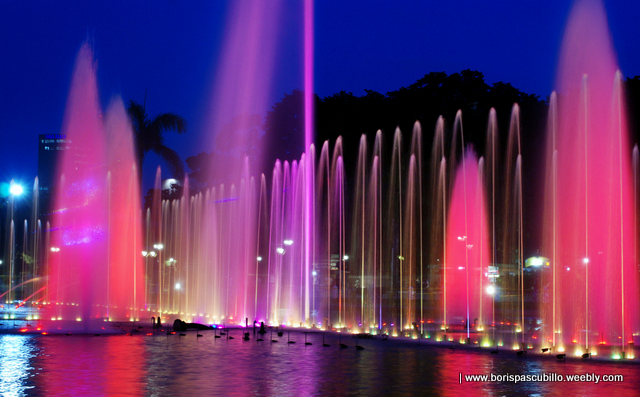
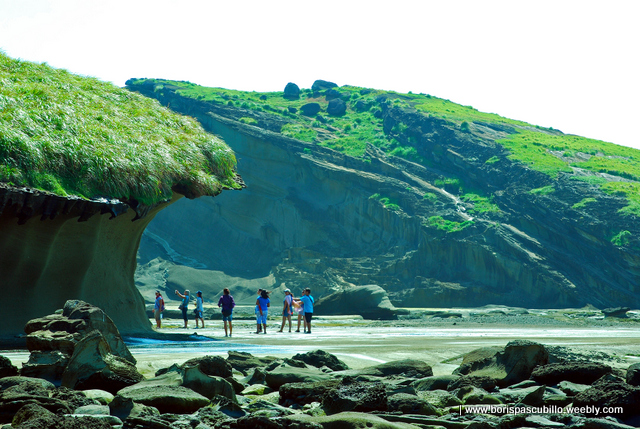
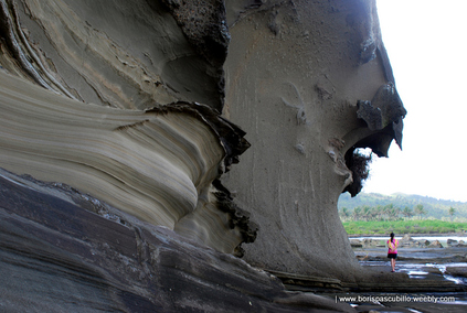
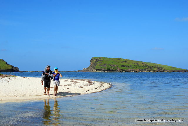
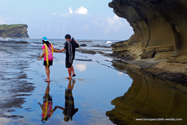
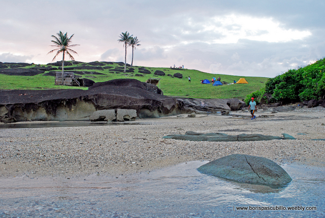
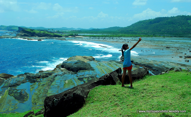
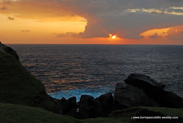
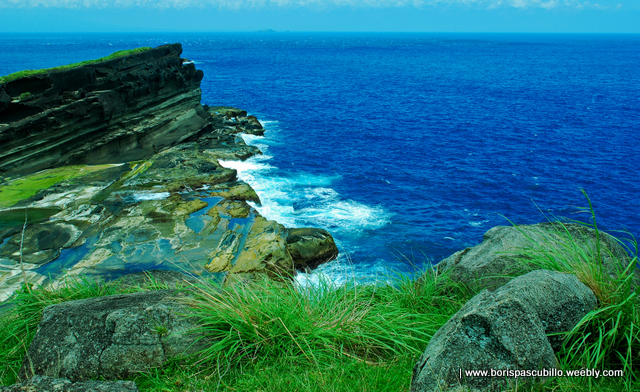
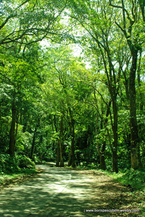
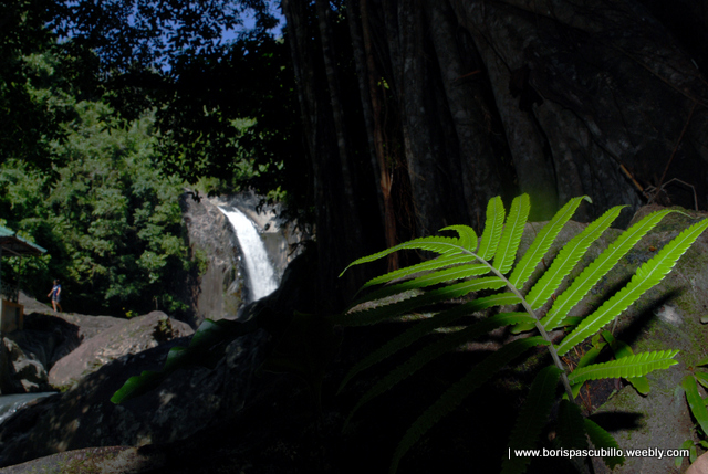
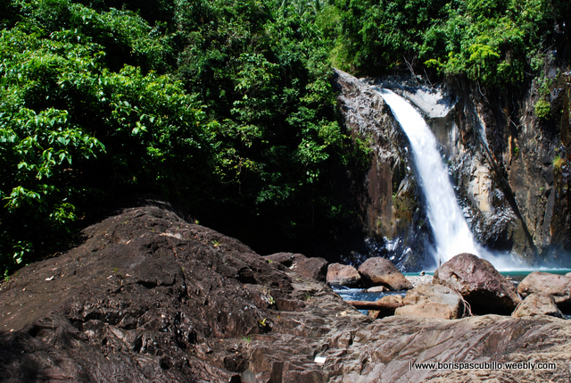
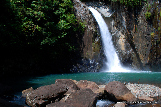
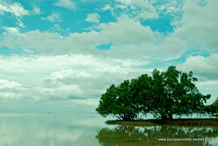
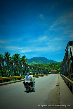
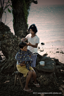
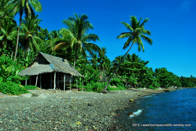
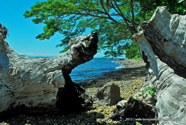
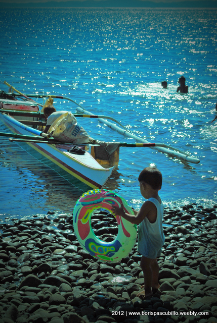
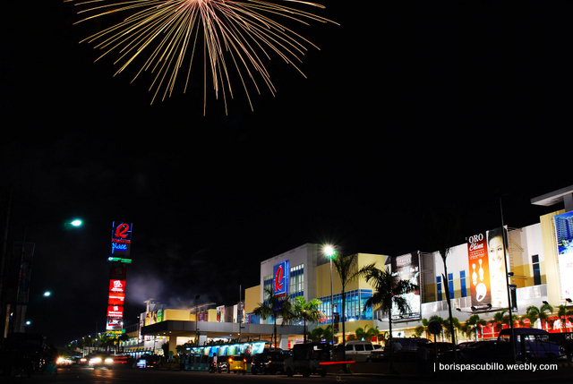
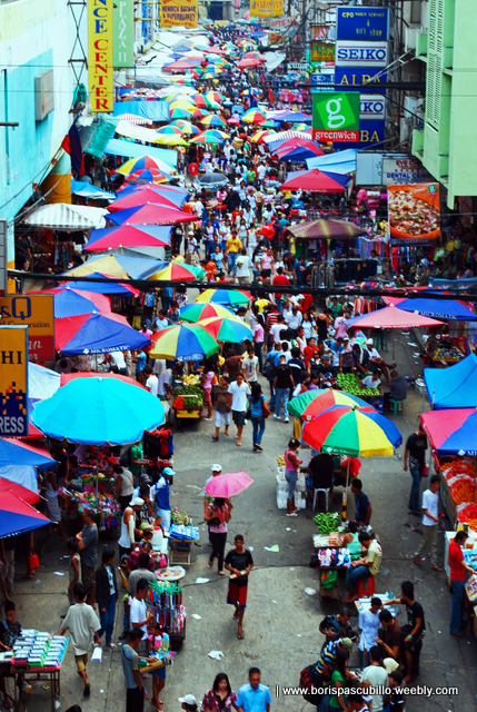
While God created the greens in Batanes, the blues and blue greens of Boracay or Panglao, and the rushing waterfalls in practically everywhere in Visayas and Mindanao, God also created this National Capital Region where 13% of the Philippine population live. Populously densed? Yes. But also gifted with beautiful reds, oranges, yellows uniquely its own.
mandaluyong city hall
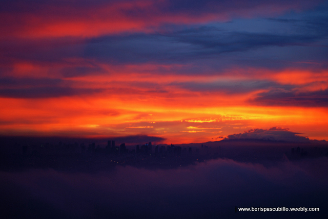
viewed from antipolo city
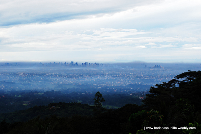
viewed from antipolo city
ayala avenue, makati
I have never known any city in the world where crime incidence is absolute zero. Metro Manila is no exception. But why look at a mound when you can see the mountain? Unrealistic, me? You may say that, but my images say otherwise. After all, God gave me two eyes to see better, and only one mouth to say less.
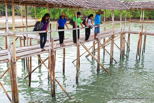
Take a look.
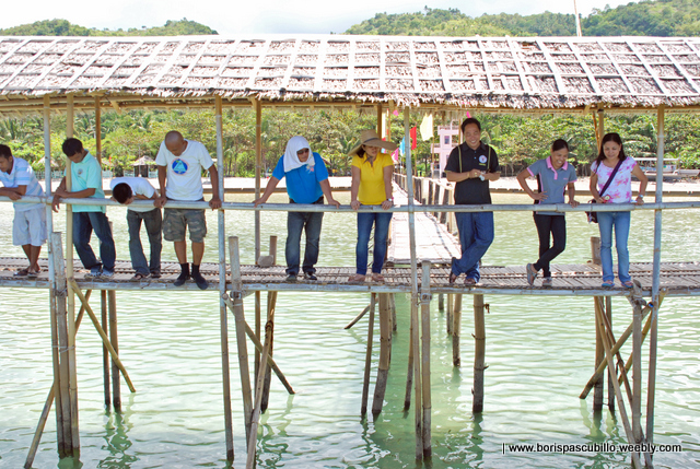
Take a look.
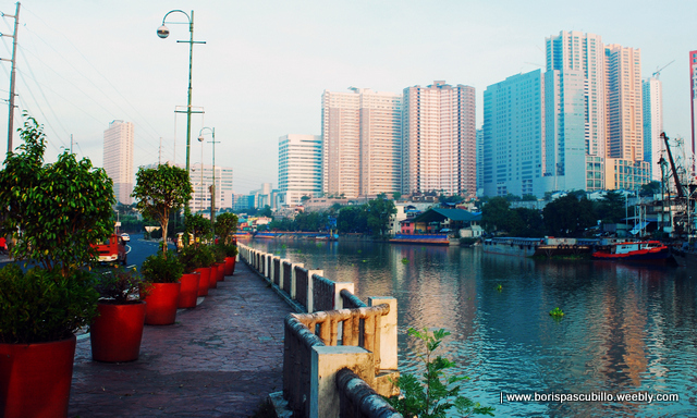
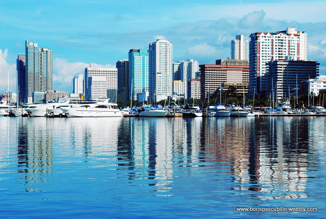
manila bay
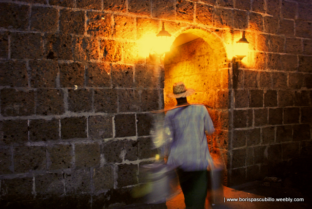
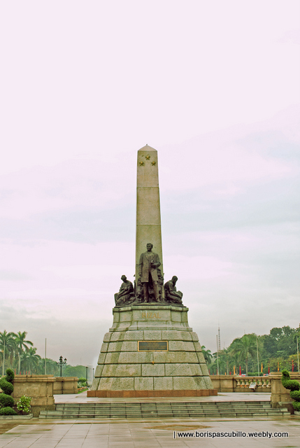
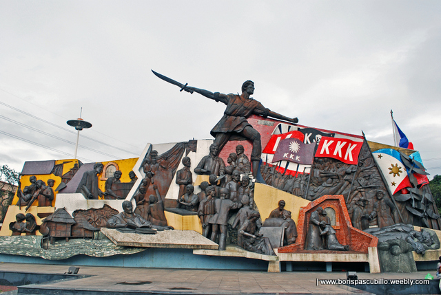
intramuros, manila
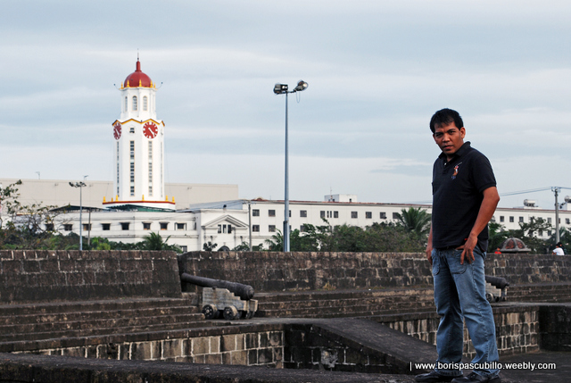
intramuros, manila
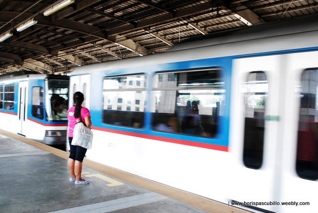
MRT